
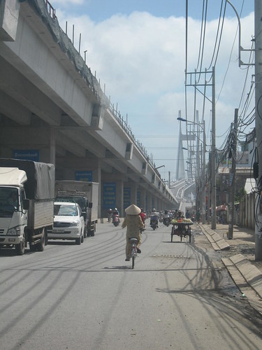
Starting at the Camlette bridge in District One, one side of the East-West highway is now open, running into the city from Highway 1A, which enters from the South-West. Now instead of having to negotiate districts Binh Chanh, Seven and Four, traffic can cut up the new stretch of highway, through Q6, Q8, Q5, Q4 and straight into Q1. Probably takes about 10-15 mins from the highway to the heart of the city. That is a huge improvement.
At the moment it's like a deserted runway with traffic flitting up and down and people unsure where they are going (literally).

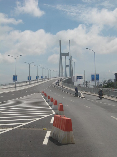
That's 8 lanes, M25 style.
I suppose one thing I like to see with new roads and bridges is the alternative perspectives they provide on the city. I can't say how wierd it was coming from D1 to see a turn off for Cholon 5 minutes later. Forget Tran Hung Dao or Nguyen Trai from now on!
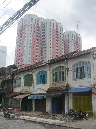
I remember when I first arrived in January 2005 I stayed at Co Bac Street, just a short walk from the canal that seperates D1 and D4. It used to be one of the dirtiest places in the city, the pot-holed street partitioned from the no-mans land adjacent to the canal by a green corrugated iron barrier. Now, the old French townhouses provide a stark contrast as they line the new highway.


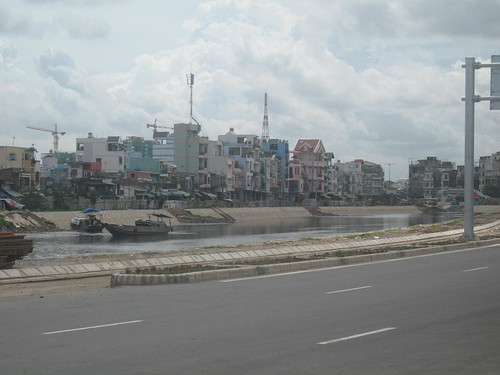
The road follows the canal as it sweeps through D4 and D5, with the newly laid canal banks and houses in the background, one could almost desribe some of the views as picturesque.
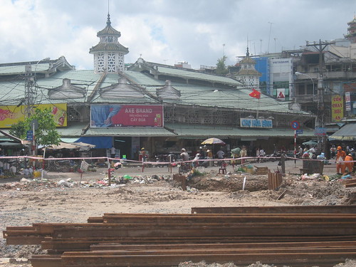
Passing Hoa Binh market:
Before you know it you're through D8 and into D6 heading towards the highway. Eventualy, as mentioned in previous posts, this highway will go under the river, straight through Thu Thiem and come out at the Hanoi Highway in D2.
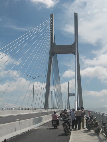
The Phu My bridge is also open at least for cars and motorbikes, and quite spectacular it is too. So much so it has become a tourist attraction in its own right, the top being a new lookout and dating point for all, complete with photographers if you want a treasured memento. Most residents have probably never seen anything like this huge structure, and the views are spectacular, across the river and ports of District 4, back across Saigon proper. The other way stretches District 7, Nha Be and District 2.
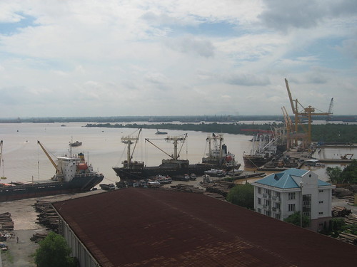
Ports in D7 and looking out towards Nha Be and Can Gio.
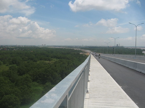
Exiting into D2. The road, as on the D7 side, is not ready yet and still a gravely dusty mess. A lot of work needs to be done before the D2 side is ready for a lot of heavy traffic. One of the roads leading the bridge on the D2 side comes out just opposite ACG International School, near enough to the Vista project, also the same place where the East-West highway ends.
Two major projects that improve the infrastruture of Ho Chi Minh City, but still a long way to go!


5 comments:
Hey Jon , can you mark road on a map for me?
thanks
don't know if the hammer & sickle gov't is going to set booths on the Phu My Hung bridge to collect toll like they did on the My Thuan bridge, which was built by Australian's gov't aid money.
A British University is being set up in Vietnam [fyi :)
http://www.nhandan.com.vn/english/life/110909/life_p.htm
Yes Viet, there is a booth on the D2 side...
And about the University, I actually know the guy who owns Apollo and is setting up this University. I saw a couple of weeks ago and they are still in the 'administrative process'...! They have the building all ready to go.
Putting my hand up. I'm still enthralled by the new bridge that takes me from Trung So'n to D1 in ten minutes.
Haha, yeah me too!
Thomas, which road do you want marking?! The East-West highway?
Post a Comment